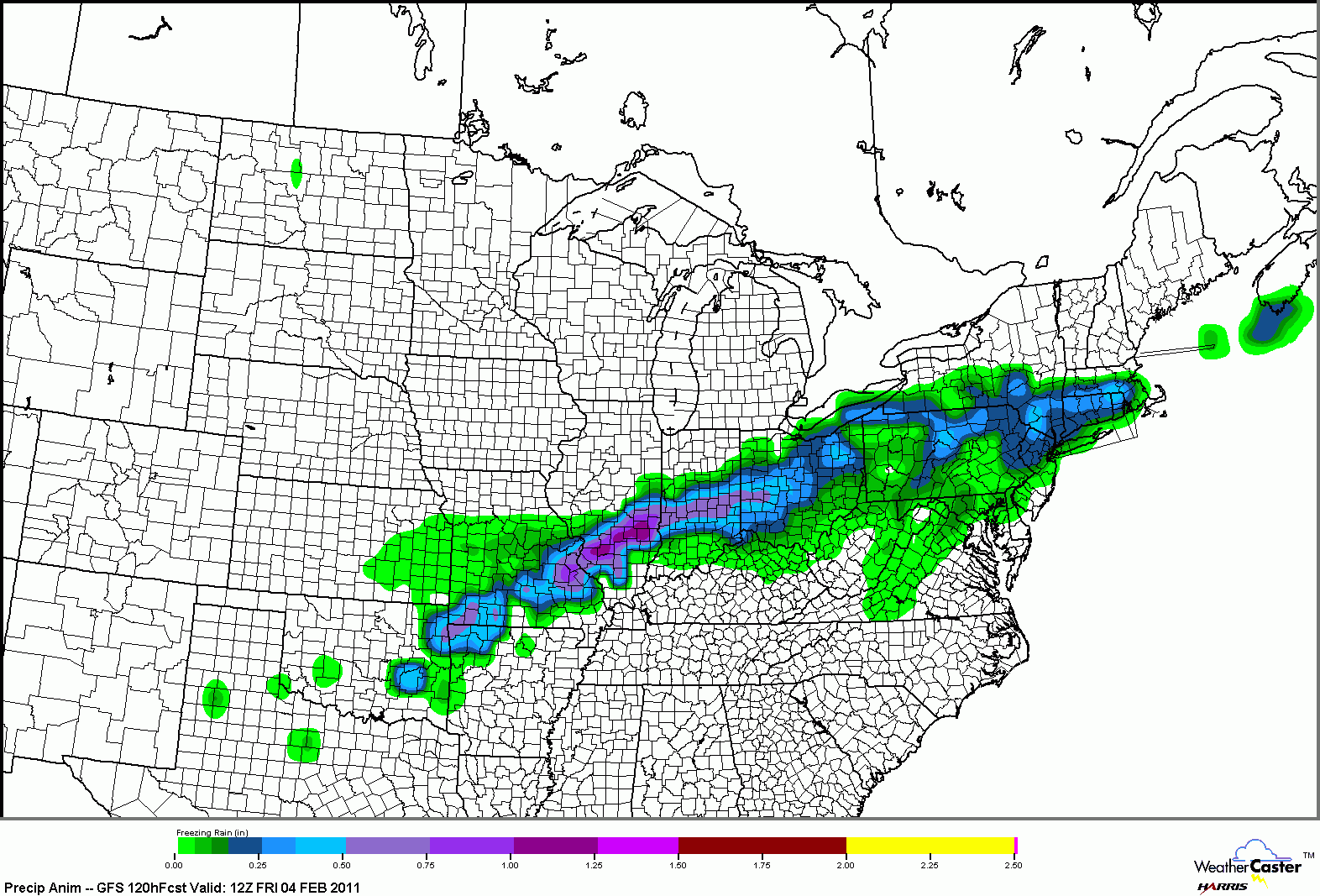
Freezing Rain Accumulation through 6am CT Friday:
Snow Accumulation through 6am CT Friday:

It is looking like snow is quickly getting out of the picture if the above model is correct. Keep in mind, the storm we are looking for has yet to move over land and a lot of things can change in the models once they get a chance to sample the storm (over land).
No comments:
Post a Comment